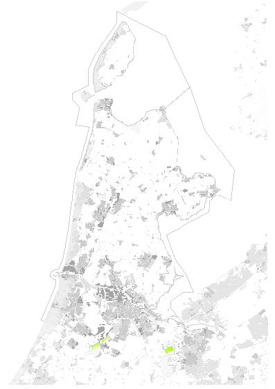
Natuurbeheerplan 2018 - zoekgebied Natuurnetwerk Nederland
Deze kaartlaag vormt het bestand voor het zoekgebied Natuurnetwerk Nederland. Deze kaart is door Gedeputeerde Staten van Noord-Holland vastgesteld op 3 oktober 2017, document/nummer 934521/982203 als onderdeel van het Natuurbeheerplan 2018. Doel van de beheertypenkaart is het vastleggen van de huidige wijze van agrarisch waterbeheer, zowel binnen als buiten het Natuurnetwerk Nederland (NNN). De kaart wordt gebruikt voor de toekenning van subsidies voor natuurbeheer.
- Identification
- Distribution
- Quality
- Spatial rep.
- Ref. system
- Content
- Portrayal
- Metadata
- Md. constraints
- Md. maintenance
- Schema info
Identification
Data identification
Citation
- Date (Creation)
- 2017-10-03
- Date (Publication)
- 2017-10-04
- Edition
-
2017.10
- Code
- 73598e72-3c35-48c0-a827-e6fa6861c83e
- Presentation form
- Digital map
- Purpose
-
Natuurbeheerplan 2018, Provincie Noord-Holland
- Status
- Completed
023 -514 3030
http://www.noord-holland.nl
023-5143030
http://www.noord-holland.nl
- Maintenance and update frequency
- Annually
-
GEMET - INSPIRE themes, version 1.0
-
-
agrarisch natuurbeheer
-
beheer
-
subsidies
-
- Use limitation
-
geen beperkingen
Legal constraints
- Access constraints
- Other restrictions
- Other constraints
- Geo Gedeeld licentie
- Classification
- Unclassified
- Spatial representation type
- Vector
- Denominator
- 10000
- Language
- Nederlands; Vlaams
- Character set
- UTF8
- Topic category
-
- Environment
- Environment description
-
Microsoft Windows Server 2016 Technical Preview Version 10.0 (Build 14393) ; Esri ArcGIS 12.5.1.22081
Extent
- Description
-
Het bestand is vigerend van oktober 2017 tot vaststelling Ontwerp Natuurbeheerplan 2019
))
Geographic description
- Extent type code
- Code
- Provincie Noord-Holland
- Begin date
- 2017-10-03
- End date
- 2019-12-31
Distribution
Distribution
- Distribution format
-
-
Enterprise Geodatabase Feature Class
()
-
Enterprise Geodatabase Feature Class
()
Distributor
023 -514 3030
http://www.noord-holland.nl
Standard order process
- Fees
-
Zonder kosten
- Ordering instructions
-
http://www.noord-holland.nl/web/Digitaal-loket/Kaarten-en-data-1.htm
- Turnaround
-
Enkele dagen
Digital transfer options
- Units of distribution
-
Provincie Noord-Holland
- OnLine resource
- Natuurbeheerplan_2018_-_zoekgebied_Natuurnetwerk_Nederland45741 ( OGC:WMS )
- OnLine resource
- oi_dataservice_gsps_natuur:Natuurbeheerplan_2018_-_zoekgebied_Natuurnetwerk_Nederland ( OGC:WFS )
Quality
Data quality
- Hierarchy level
- Dataset
Quantitative result
- Value
- 1 : 10000
- Statement
-
IMNAB (Informatie model natuurbeheer)
Spatial rep.
Vector spatial representation
- Topology level
- Geometry only
Geometric objects
- Geometric object type
- Composite
- Geometric object count
- 165
Ref. system
- Reference system identifier
- EPSG / https://www.opengis.net/def/crs/EPSG/0/28992 / 6.7(8.0.1)
Content
Feature catalogue description
- Included with dataset
- Feature types
- gppub.brondata.LN_NBP_2018_NNN_ZOEKGEB
Citation
- Date (Revision)
- 2021-10-12
- Code
- 9355179d-fcba-4783-9fb4-883cb686f585
Metadata
Metadata
- File identifier
- dba4abed-289e-4ad5-a241-4e46caafc062 XML
- Metadata language
- Nederlands; Vlaams
- Character set
- UTF8
- Hierarchy level
- Dataset
- Hierarchy level name
-
dataset
- Date stamp
- 2022-04-29
- Metadata standard name
-
ISO 19115
- Metadata standard version
-
Nederlands metadata profiel op ISO 19115 voor geografie 2.0
023 -514 3030
http://www.noord-holland.nl
Overviews
Provided by