CORINE: Veranderingen in landgebruik in Nederland tussen 1986 en 2000.
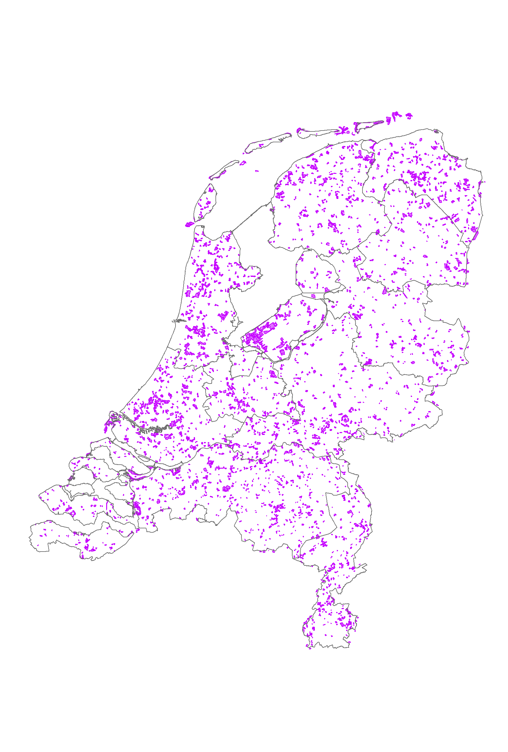
Het bestand bevat de veranderingen in landgebruik tussen 1986 en 2000. Eenheden kleiner dan 5 ha komen niet voor. Het bestand geeft de veranderingen in CORINE landgebruik weer tussen het CLC00 en CLC90 bestand.
referenties: 1.Hazeu, G.W. CORINE Land Cover database of the Netherlands. Monitoring Land Cover Changes between 1986 and 2000. Alterra, the Netherlands
2. Thunnissen, H.A.M. and Middelaar, H.J. van, 1995. The CORINE Land Cover database of the Netherlands. Final report of the CORINE Land Cover project in the Netherlands. Report 78. Alterra, the Netherlands
3.EEA and ETC-TE, 2002. CORINE Land Cover update I&CLC2000 project. Technical Guidelines. Final Version. EEA, Denmark
dutch-default
dataIdentificatie
- Alternate title
-
chang_nl2
- Date (Revision)
- 2003-12-31
- Edition
-
2003
- Unique resource identifier
-
cfaf8b22-45c4-40c8-a7e0-0a95c1a19763
- Metadata language
-
dut
- Character set
- UTF8
- Purpose
-
Het monitoren van landgebruiksveranderingen op Europese schaal volgens een standaard methode.
- Status
- Completed
Contact for the resource
- individualName
-
EEA
- Organisation name
-
EEA- European Environment Agency
- positionName
-
owner
- deliveryPoint
-
Kongens Nytorv 6
- city
-
Copenhagen
- country
-
Denmark
- individualName
-
Gerard Hazeu
- Organisation name
-
Wageningen Environmental Research
- positionName
-
Inhoudelijk deskundige
- voice
-
0317-481928
- facsimile
-
0317-479000
- deliveryPoint
-
Droevendaalsesteeg 3
- city
-
Wageningen
- administrativeArea
-
Gelderland
- postalCode
-
6708 PB
- country
-
Nederland
- Maintenance and update frequency
- 6annually
-
GEMET - Themes, version 2.4
-
-
Landgebruik
-
Orthobeeldvorming
-
Satellietbeeld
-
restrictions
- Use limitation
-
Bronvermelding
- Use limitation
-
a) not to use the data for commercial purposes;
b) to acknowledge the source of the data in all publications and applications;
c) to help improve the quality of the data by noting and reporting any errors or omissions discovered;
d) to help improve the quality of the Data Service by giving feed back on functionalities and data packaging the data provided;
e) to help improve the co-ordinated use of data by informing EEA staff about applications which use data from the Data Service;
f) to help improve the efficiency of environmental reporting by supplying the EEA with documented digital copies of data and information derived from EEA data so that it can be re-used by the Agency with reference to the source;
g) to supply the EEA with a copy of /URL to all publications and other products based on the datasets;
- Use constraints
- Copyright
- Access constraints
- Intellectual property rights
Legal constraints
- Access constraints
- Other restrictions
- Other constraints
-
Copyrighthouder: Wageningen Environmental Research, EEA
Security constraints
spatial
- Denominator
- 100000
- Spatial representation type
- Vector
))
- Geographic identifier
- Nederland
- Geographic identifier
- Nederland
- Begin
- 1986-01-01
- End
- 2000-12-31
- Minimum value
- 0
- Maximum value
- 0
Vertical CRS
Vertical CS
Vertical datum
- Supplemental Information
-
Document_referentie| http://www.geodata.alterra.nl/portalen/datadocs/documentatie_CLC1990_2000.zip
Ref. system
Projection
- code
-
Rijksdriehoekstelsel_New (28992)
- codeSpace
-
EPSG
Distribution
Encoding
distributorContact
- individualName
-
GeoDesk
- Organisation name
-
Wageningen Environmental Research
- positionName
-
Beheerder
- voice
-
0317-484111
- facsimile
-
0317-479000
- deliveryPoint
-
Droevendaalsesteeg 3
- city
-
Wageningen
- administrativeArea
-
Gelderland
- postalCode
-
6708 PB
- country
-
Nederland
orderProcess
DataQuality
- Hierarchy level
- Dataset
Conformance result
- Date
- Value
- 100 m
- Description
-
Visuele interpretatie van verschillen in landgebruik tussen Landsatbeelden uit 1986-1988 en 1999-2000. Het is een intersectie van de bestanden clc00 en clc90.
- Processor
-
organisationName electronicMailAddress role Wageningen Environmental Research (Alterra)
Processor
- Processor
-
organisationName electronicMailAddress role Principal investigator
Metadata
- Metadata language
-
dut
- Character set
- UTF8
- Hierarchy level
- Dataset
Contact for the metadata
- individualName
-
GeoDesk
- Organisation name
-
Wageningen Environmental Research
- positionName
-
Beheerder
- voice
-
0317-484111
- facsimile
-
0317-479000
- deliveryPoint
-
Droevendaalsesteeg 3
- city
-
Wageningen
- administrativeArea
-
Gelderland
- postalCode
-
6708 PB
- country
-
Nederland
- Metadata standard name
-
ISO 19115
- Metadata standard version
-
Nederlandse metadata profiel op ISO 19115 voor geografie 1.2