
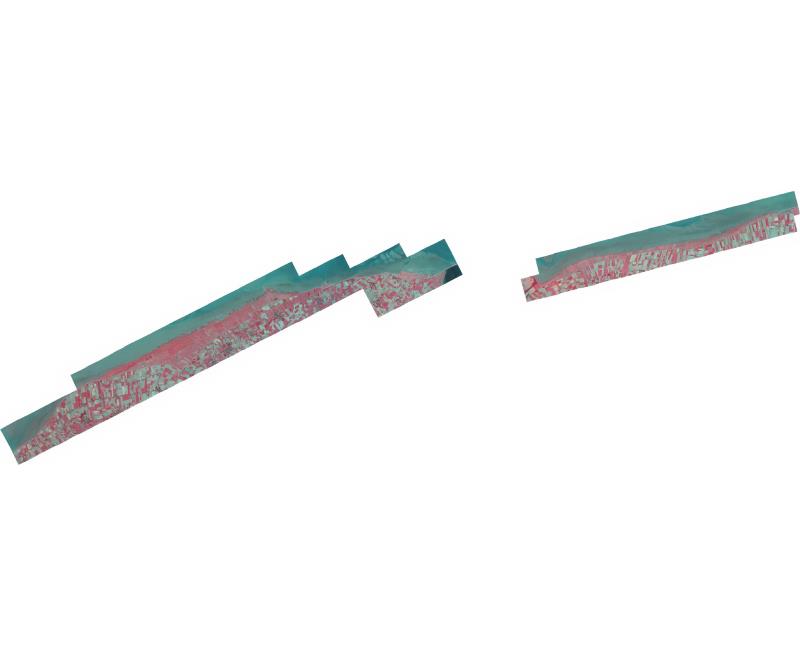
Orthofotomozaiek Friese en Groningerkwelders 2020
Orthofotomozaiek van het projectgebied Friese_en_Groningerkwelders vervaardigd uit stereoluchtfoto-opnamen op 07-08-2020 ter ondersteuning van het vegetatie monitoringsprogramma in opdracht van WVL
Standard
dataIdentificatie
- Title
-
Orthofotomozaiek Friese en Groningerkwelders 2020
- Date (Creation)
- 2020-08-07
- Unique resource identifier
- shtd8eay-1b8b-yzyo-k8yy-x4go6dqbx65h
- Status
- Completed
- Metadata language
- Nederlands; Vlaams
- Keywords
-
- Use limitation
-
Geen beperkingen
Legal constraints
- Use limitation
-
Geen beperkingen
- Access constraints
- Other restrictions
- Use constraints
- Other restrictions
- Other constraints
- Geen beperkingen
Security constraints
- Classification
- Unclassified
- Point of contact
-
individualName organisationName electronicMailAddress role Servicedesk Data
Rijkswaterstaat
https://www.rijkswaterstaat.nl/formulieren/contactformulier-servicedesk-data
Owner
))
DataQuality
- Hierarchy level
- Dataset
- Lineage
-
Product is vervaardigd volgens Productspecificatie Verticale luchtfoto´s en Orthofotomozaieken versie 27 februari 2018 van de CIV
Metadata
- Metadata language
- Nederlands; Vlaams
- Hierarchy level
- Dataset
- Metadata author
-
individualName organisationName electronicMailAddress role Servicedesk Data
Rijkswaterstaat
https://www.rijkswaterstaat.nl/formulieren/contactformulier-servicedesk-data
Point of contact
)))
