
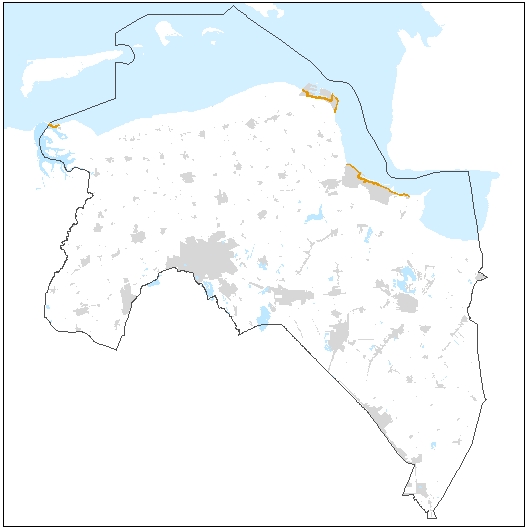
Bebouwingszone van primaire waterkeringen (Omgevingsverordening)
Dit bestand bevat de bebouwingszone van 70 meter (primaire waterkeringen) zoals vastgesteld in de Omgevingsverordening provincie Groningen. In deze verordening zijn regels opgenomen m.b.t. de bebouwingszone, die samen met het profiel van vrije ruimte en de beschermingszone de waterkeringszone vormt.
Standard
dataIdentificatie
- Title
-
Bebouwingszone van primaire waterkeringen (Omgevingsverordening)
- Date (Creation)
- 2016-06-01
- Date (Publication)
- 2024-01-01
- Date (Revision)
- 2019-02-06
- Unique resource identifier
-
09fcf8e8-345d-4c06-be20-20c2e2307503
- Status
- Completed
- Metadata language
- Nederlands; Vlaams
-
Interprovinciale thesaurus
-
-
PROVINCIALE VERORDENINGEN
-
DIJKEN
-
VEILIGHEID
-
WATERKERINGEN
-
RUIMTELIJKE ORDENING
-
OMGEVINGSWET
-
- Keywords
-
-
Downloadable Data
-
- Use limitation
-
Geen gebruiksbeperkingen.
Legal constraints
- Access constraints
- Other restrictions
- Other constraints
- Geen beperkingen
- Point of contact
-
individualName organisationName electronicMailAddress role Team Water
Provincie Groningen
Owner
spatialInfo
N
S
E
W
))
- Denominator
- 10000
- referenceSystemIdentifier
DataQuality
- Hierarchy level
- Dataset
- Lineage
-
provincie Groningen
Metadata
- Metadata language
- Nederlands; Vlaams
- Hierarchy level
- Dataset
- Metadata author
-
individualName organisationName electronicMailAddress role Datateam Beleid
Provincie Groningen
Point of contact
)))
