
BRO Geomorfologische Kaart (GMM) WMS
Basisregistratie Ondergrond (BRO) Geomorfologischekaart
Dutch profile
dataIdentificatie
- Title
-
BRO Geomorfologische Kaart (GMM) WMS
- Date (Creation)
- 2020-05-07
- Date (Revision)
- 2025-02-25
- Point of contact
-
individualName organisationName electronicMailAddress role Beheer PDOK Author
- Keywords
-
- infoMapAccessService
-
geomorfologie
-
genese
-
landvorm
-
relief
-
ouderdom
-
bodem
-
geologie
-
v2019-2-31
spatialInfo
N
S
E
W
))
Temporal coverage
Restricties en beperkingen
- gmd:useLimitation
-
Geen beperkingen
gmd:MD_LegalConstraints
- gmd:accessConstraints
- Other restrictions
- gmd:otherConstraints
- Geen beperkingen
gmd:MD_LegalConstraints
- gmd:accessConstraints
- Other restrictions
- gmd:otherConstraints
- Geen beperkingen
Service operaties en gekoppelde bronnen
- srv:couplingType
- Tight
- Service type
- view
- srv:containsOperations
-
srv:operationName srv:DCP GetCapabilities
WebServices
coupledResource
- srv:operatesOn
Service kwaliteit
- gmd:level
- Service
- levelDescription
-
service
gmd:DQ_ConformanceResult
- Date (Publication)
- 2009-10-19
- gmd:explanation
-
Conform verordening, validatie uitgevoerd met de ETF Validator voor INSPIRE view en downloadservices versie 1.4.1
- gmd:pass
gmd:DQ_ConformanceResult
- Date (Publication)
- 2013-08-09
- gmd:explanation
-
Conform technische specificatie, validatie uitgevoerd met de ETF Validator voor INSPIRE view en downloadservices versie 1.4.1
- gmd:pass
DQ_ConceptualConsistency
About the metadata
- gmd:language
- Nederlands; Vlaams
- gmd:characterSet
- UTF8
- gmd:hierarchyLevelName
-
service
- Point of contact
-
individualName organisationName electronicMailAddress role Beheer PDOK Point of contact
- gmd:metadataStandardName
-
ISO 19119
- gmd:metadataStandardVersion
-
Nederlands metadata profiel op ISO 19119 voor services 2.1.0
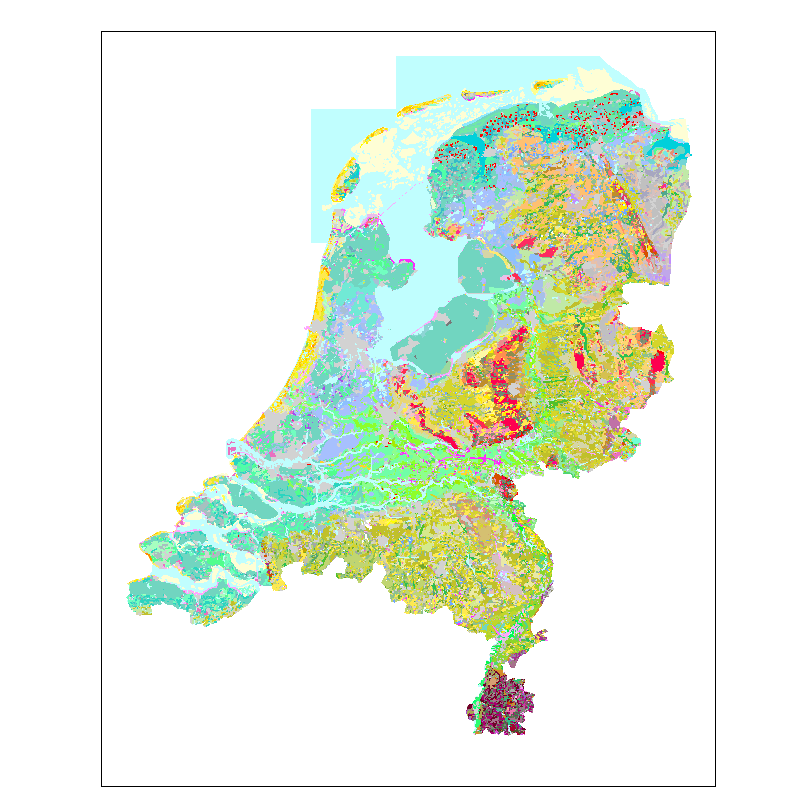
thumbnail

Not available