
zand_ncp
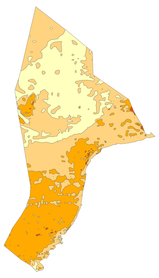
Korrelgrootte (D50) zand bovenste 15 cm zeebodem in polygonen
Standard
dataIdentificatie
- Title
-
zand_ncp
- Date (Creation)
- 2004-12-31
- Unique resource identifier
- f646affd-36d2-4e4f-9900-8dc47dfe5e45
- Status
- Completed
- Metadata language
- Nederlands; Vlaams
- Keywords
-
- Use limitation
-
Alleen intern gebruik Rijkswaterstaat (RWS), Provincies en Waterschappen, Buiten deze partijen alleen met toestemming van de bronhouder
Legal constraints
- Use limitation
-
Alleen intern gebruik Rijkswaterstaat (RWS), Provincies en Waterschappen, Buiten deze partijen alleen met toestemming van de bronhouder
- Access constraints
- Other restrictions
- Use constraints
- Other restrictions
- Other constraints
- Geen beperkingen
Security constraints
- Classification
- Unclassified
- Point of contact
-
individualName organisationName electronicMailAddress role Servicedesk Data
Rijkswaterstaat https://www.rijkswaterstaat.nl/formulieren/contactformulier-servicedesk-data
Distributor
))
DataQuality
- Hierarchy level
- Dataset
- Lineage
-
Geologische dienst TNO Deltares
Metadata
- Metadata language
- Nederlands; Vlaams
- Hierarchy level
- Dataset
- Metadata author
-
individualName organisationName electronicMailAddress role Servicedesk Data
Rijkswaterstaat https://www.rijkswaterstaat.nl/formulieren/contactformulier-servicedesk-data
Point of contact
)))
