
Potentiekaart Omgevingswarmte WFS
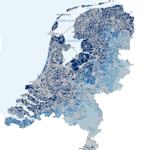
De WarmteAtlas Nederland is een digitale, geografische kaart waarop warmteaanbod en -vraag in ons land zijn aangegeven. Aan de aanbodkant gaat het om (potentieel) geschikte locaties van warmte- en koude opslag (WKO), diepe geothermie, biomassa en restwarmte. Deze lagen tonen de potentie voor WKO systemen per buurt en per gemeente.
Dutch profile
dataIdentificatie
- Title
-
Potentiekaart Omgevingswarmte WFS
- Date (Creation)
- 2015-11-23
- Date (Revision)
- 2025-06-02
- Point of contact
-
individualName organisationName electronicMailAddress role Beheer PDOK Custodian
- Keywords
-
-
Energiebronnen
-
WKO
-
warmte
-
koude
-
geothermie
-
warmtewisselaar
-
spatialInfo
N
S
E
W
))
Temporal coverage
Restricties en beperkingen
- gmd:useLimitation
-
Geen beperkingen
gmd:MD_LegalConstraints
- gmd:accessConstraints
- Other restrictions
- gmd:otherConstraints
- Geen beperkingen
Service operaties en gekoppelde bronnen
- srv:couplingType
- Tight
- Service type
- download
- srv:containsOperations
-
srv:operationName srv:DCP GetCapabilities
WebServices
coupledResource
Service kwaliteit
- gmd:level
- Service
- levelDescription
-
service
DQ_ConceptualConsistency
About the metadata
- gmd:language
- Nederlands; Vlaams
- gmd:characterSet
- UTF8
- gmd:hierarchyLevelName
-
service
- Point of contact
-
individualName organisationName electronicMailAddress role Beheer PDOK Point of contact
- gmd:metadataStandardName
-
ISO 19119
- gmd:metadataStandardVersion
-
Nederlands metadata profiel op ISO 19119 voor services 2.1.0
Potentiekaart Omgevingswarmte

Not available