
Orthofotomozaiek Westerschelde 2016
Orthofotomozaiek van de Westerschelde vervaardigd uit stereoluchtfoto opnamen van 23 en 24 augustus 2016 ter ondersteuning van Geomorfologische monitoringsprgramma in opdracht van Rijkswaterstaat Water, Verkeer en Leefomgeving
Standard
dataIdentificatie
- Title
-
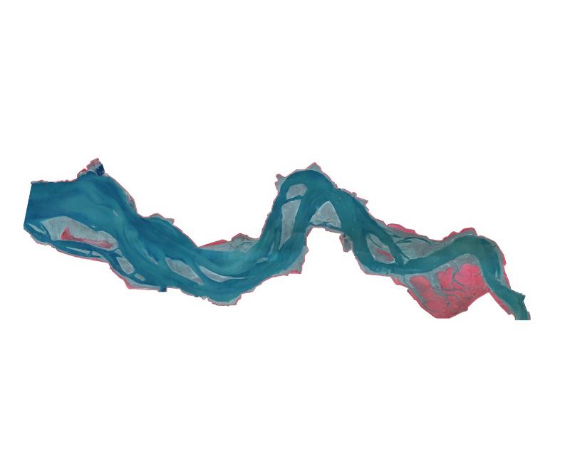
Orthofotomozaiek Westerschelde 2016
- Date (Creation)
- 2016-09-15
- Unique resource identifier
- 8c281dfb-f363-4e12-b7d8-66f730174d73
- Status
- Completed
- Metadata language
- Nederlands; Vlaams
- Keywords
-
- Use limitation
-
Geen beperkingen
Legal constraints
- Use limitation
-
Geen beperkingen
- Access constraints
- Other restrictions
- Use constraints
- Other restrictions
- Other constraints
- Geen beperkingen
Security constraints
- Classification
- Unclassified
- Point of contact
-
individualName organisationName electronicMailAddress role Servicedesk Data
Rijkswaterstaat
https://www.rijkswaterstaat.nl/formulieren/contactformulier-servicedesk-data
Owner
spatialInfo
))
- Distance
- 5 meters
- referenceSystemIdentifier
- RD_New
- referenceSystemIdentifier
- NAP
DataQuality
- Hierarchy level
- Dataset
- Lineage
-
Luchtfoto's false color, Product is vervaardigd volgens specificaties dienst luchtfoto's en orthofotomozaieken versie 1.0 van RWS-CIV
Metadata
- Metadata language
- Nederlands; Vlaams
- Hierarchy level
- Dataset
- Metadata author
-
individualName organisationName electronicMailAddress role Servicedesk Data
Rijkswaterstaat
https://www.rijkswaterstaat.nl/formulieren/contactformulier-servicedesk-data
Point of contact
)))
