
CORINE Land Cover 2006 database of the Netherlands
CORINE Land Cover 2006 database of the Netherlands.
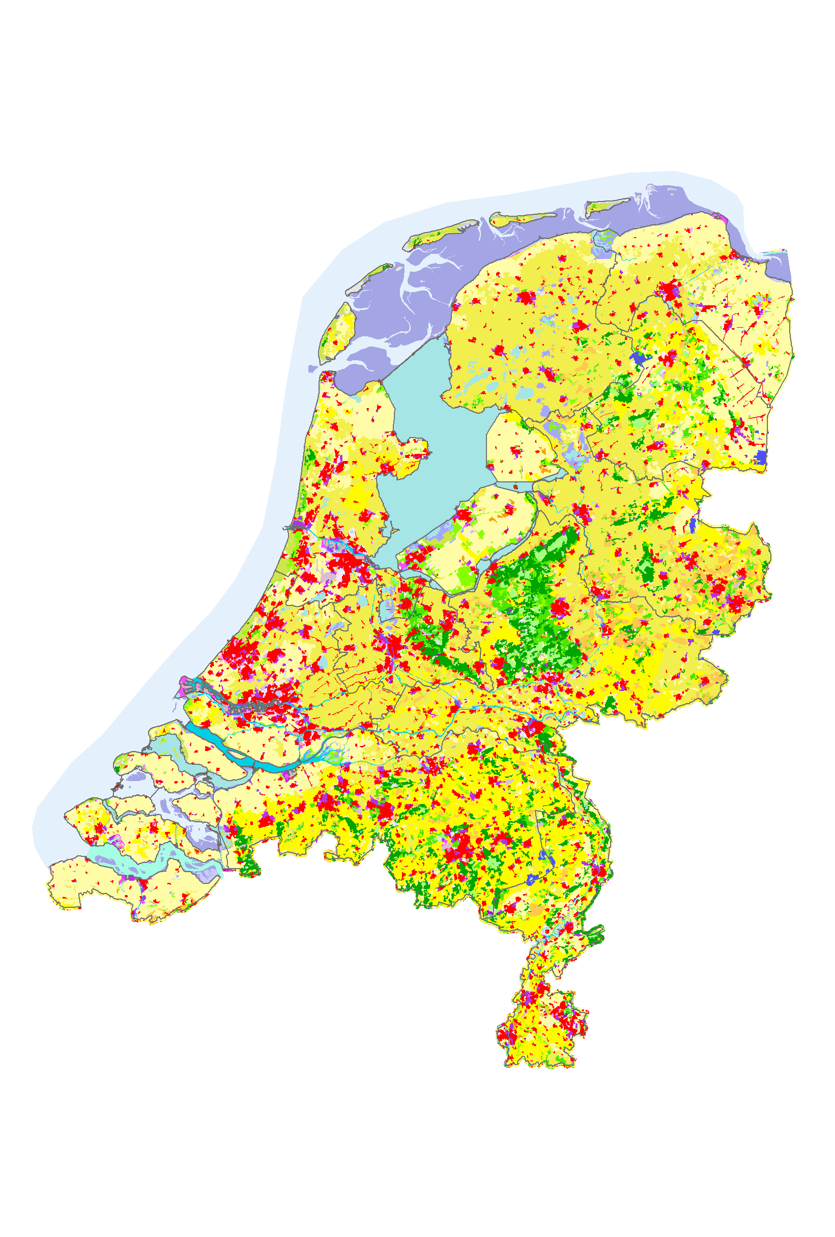
An increasing need for factual and quantitative information on the state of the environment of DG Environment, DG Agriculture and other users initiated a proposal of the EEA to collaborate with the European Space Agency (ESA) and the European Commission (EC) on the implementation of a fast track service on land monitoring. The project focused on timely, quality assured data, in particular in land cover and land use related issues for 2006-2008. The CLC2006 project is part of the GMES Fast Track Service Precursor (FTSP) Land Monitoring. In CLC2006 38 countries with total area of 5.8 Mkm2 are participating (32 EEA member states and 6 collaborating countries).
Simple
Basis
- Title
-
CORINE Land Cover 2006 database of the Netherlands
- Unique resource identifier
-
13dfeb7f-a512-4640-a4ce-38e44b4ff176
- Status
- Completed
-
GEMET - Themes, version 2.4
-
-
Landgebruik
-
Orthobeeldvorming
-
Satellietbeeld
-
- Date (Revision)
- 2008-02-27
- Point of contact
-
organisationName electronicMailAddress role Wageningen Environmental Research
Owner EEA- European Environment Agency
Owner
- Use limitation
-
Bronvermelding
- Use constraints
- Copyright
- Access constraints
- Intellectual property rights
spatial
))
- Denominator
- 100000
Metadata
- Metadata author
-
organisationName electronicMailAddress role Wageningen Environmental Research
Author
)))
