
Luchthavens Handhavingspunten
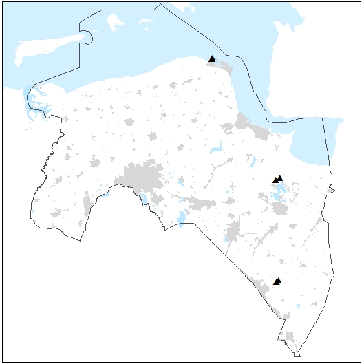
De maximaal toelaatbare geluidsbelasting van een luchthaven waarvoor een luchthavenbesluit is vastgesteld wordt in het luchthavenbesluit vastgelegd op handhavingspunten. De maat hiervoor is de jaargemiddelde dosismaat Lden (in dB(A)). Aan de hand van de registratie van het gebruik van de luchthaven wordt door het bevoegd gezag (voor deze luchthavens van regionale betekenis is dat de provincie) getoetst of aan de waarden wordt voldaan.
Standard
dataIdentificatie
- Title
-
Luchthavens Handhavingspunten
- Date (Creation)
- 2017-02-16
- Unique resource identifier
-
dd69aec9-5c09-457e-8636-345bba1bbb1c
- Status
- Completed
- Metadata language
- Nederlands; Vlaams
-
Interprovinciale thesaurus
-
-
LUCHTVAART
-
VLIEGVELDEN
-
HANDHAVING
-
GELUIDHINDER
-
EXTERNE VEILIGHEID
-
- Keywords
-
-
Downloadable Data
-
- Use limitation
-
Geen gebruiksbeperkingen
Legal constraints
- Access constraints
- Other restrictions
- Other constraints
- Geen beperkingen
- Point of contact
-
individualName organisationName electronicMailAddress role Team Milieu
Provincie Groningen
Owner
spatialInfo
))
- Denominator
- 1000
- referenceSystemIdentifier
DataQuality
- Hierarchy level
- Dataset
- Lineage
-
Provincie Groningen
Metadata
- Metadata language
- Nederlands; Vlaams
- Hierarchy level
- Dataset
- Metadata author
-
individualName organisationName electronicMailAddress role Datateam Beleid
Provincie Groningen
Point of contact
Overviews
Provided by
